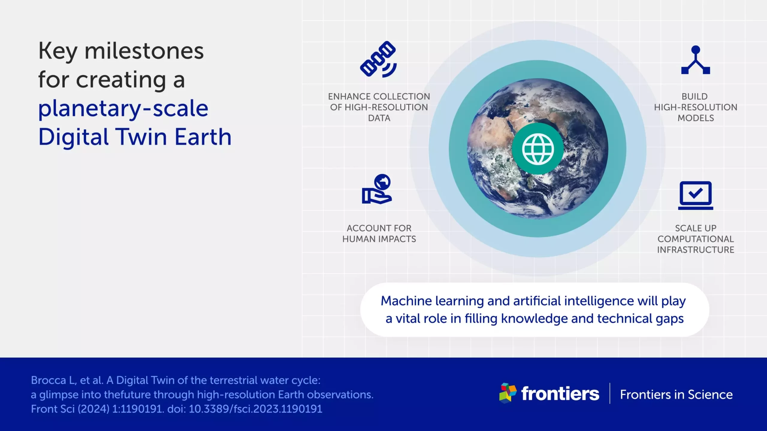
The water cycle is a fundamental process on Earth that is essential for life. However, predicting floods and droughts, despite the seemingly simple concept of the water cycle, remains a complex challenge due to human impacts, climate change, and geographic diversity. In order to accurately model the water cycle, high-resolution data and sophisticated modeling techniques are required. Recently, scientists have made significant advancements in this area by creating the most detailed models to date.
In the realm of engineering, a digital twin is a virtual model of a physical object that can be tested and analyzed without causing real-world damage. By applying this concept to the Earth, researchers aim to create a constantly updated digital twin that simulates various scenarios, assesses risks, and tracks the development of hazardous conditions. This digital twin model of the Earth would be instrumental in sustainable development and protecting vulnerable populations. Dr. Luca Brocca and his team utilized massive amounts of satellite data to build their digital twin models, incorporating new Earth observation data that measures soil moisture, precipitation, evaporation, river discharge, and snow depth with higher frequency and resolution than ever before.
The availability of high-resolution data, such as measurements taken up to once a kilometer and once an hour, has revolutionized the modeling of the water cycle. This detailed data, akin to having more pixels on a screen, provides a more comprehensive and accurate picture of Earth’s water systems. By integrating this data into a cloud-based platform, scientists have created an interactive tool that enables users to simulate and visualize risks like floods and landslides, as well as manage water resources effectively. This platform represents a significant advancement in hydrological modeling and disaster preparedness.
Despite the progress made in modeling the water cycle, several challenges persist. Delays in transferring satellite data to the model, the need for additional ground observations to validate satellite data, and the complexity of handling large volumes of data are ongoing obstacles. Furthermore, the imperfections in models and errors in satellite data necessitate a thorough characterization of uncertainties to ensure the reliability of the results. Moving forward, advancements in artificial intelligence and machine learning will play a crucial role in overcoming these challenges by enhancing data analysis, improving data quality assessment, and speeding up data processing.
The development of highly detailed digital twin models for the water cycle represents a significant step forward in predicting and managing floods, droughts, and other hydrological phenomena. By leveraging cutting-edge satellite data, advanced modeling techniques, and collaborative efforts among scientists, space agencies, and decision-makers, the future holds promise for more efficient and accurate predictions of water-related disasters and sustainable water resource management. As researchers continue to refine their models and incorporate new technologies, the potential for Digital Twin Earths to provide invaluable insights for environmental sustainability and disaster resilience is within reach.


Leave a Reply