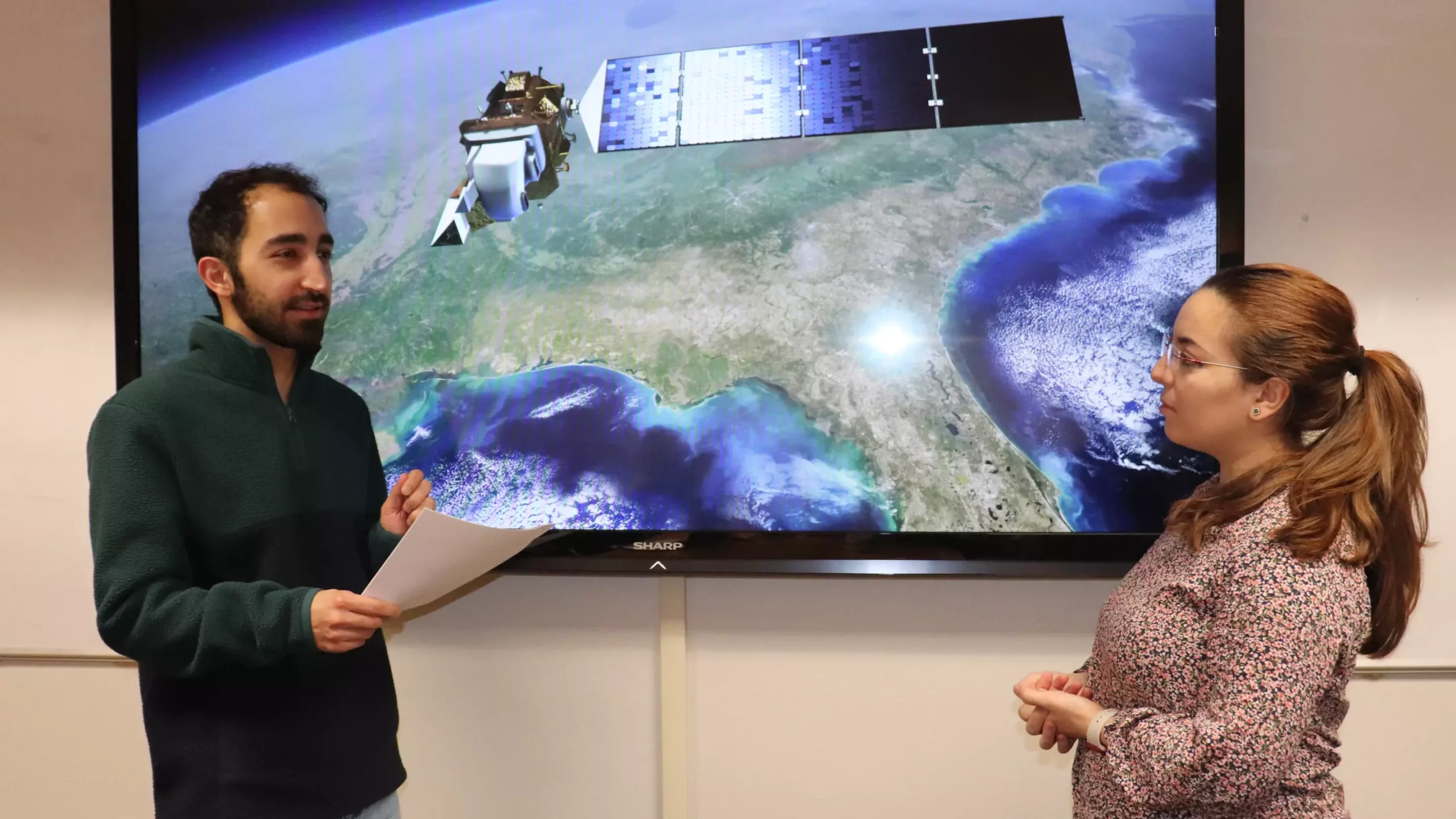
Securing accurate data about the Earth’s water bodies remains a challenge despite the multitude of satellites orbiting our planet. The data collected from these satellites play a crucial role in water resource management tasks such as monitoring lakes, coastal zones, shifting borders due to rising seas, and erosion. However, the main issue faced by water managers is the trade-off between high spatial and high temporal resolutions data. Integrating these complementary data sets to provide more accurate information is imperative, yet it comes with its own set of challenges.
A novel solution to this conundrum is the Hydrological Generative Adversarial Network (Hydro-GAN). Developed by a team of scientists from Utah State University, including doctoral student Pouya Hosseinzadeh and assistant professor Soukaina Filali Boubrahimi, Hydro-GAN is a machine learning-based method that maps low-resolution satellite data to a high-resolution data counterpart. This innovative tool aims to bridge the gap between different satellite data sources and improve the resolution of water boundaries.
The researchers utilized a dataset consisting of image data collected from 20 reservoirs across various countries over a span of seven years (2015-2021). A case study focusing on Lake Tharthar, a saltwater lake in Iraq facing similar challenges as the Great Salt Lake, was conducted to evaluate the effectiveness of the Hydro-GAN model in predicting changes in the lake’s area. By integrating data from MODIS and Landsat 8 satellites, the researchers were able to enhance their predictions regarding the lake’s shrinking and expansion behaviors.
The information derived from the Hydro-GAN model is particularly crucial for hydrologists and environmental scientists tasked with monitoring seasonal dynamics and making informed decisions to sustain water supplies. The ability of Hydro-GAN to generate high-resolution historical data that was previously unavailable enables more accurate forecasting, especially in scenarios where a large amount of historical data is required. This tool promises to be invaluable for water managers seeking to improve their decision-making processes.
Future Directions
Moving forward, the research team plans to explore the potential of employing a multi-modal approach to water data collection. By incorporating additional data types such as topology, snow data amounts, streamflow, precipitation, temperature, and other climate variables, they aim to provide a comprehensive understanding of water bodies and their surrounding environments. This holistic approach to data collection through satellite technology holds great promise for advancing water resource management practices.
Overall, the development of Hydro-GAN represents a significant step forward in optimizing the utilization of satellite data for water resource management tasks. By addressing the challenges associated with integrating data from different sources and improving data resolution, this innovative tool has the potential to revolutionize how water managers monitor and make decisions regarding our planet’s vital water resources.


Leave a Reply