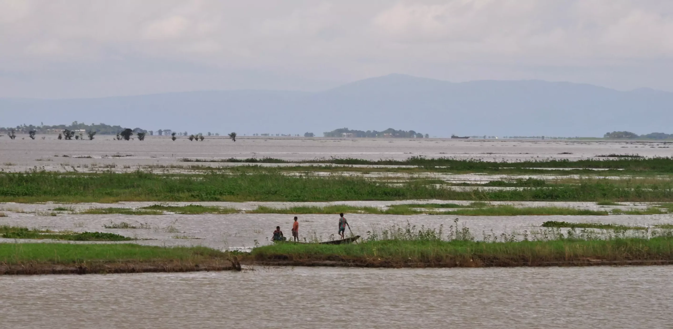
2,500 years ago, a major earthquake caused a significant change in the course of the Ganges River, one of the largest rivers on Earth. This event was recently discovered and documented in a study published in the journal Nature Communications. The earthquake led to the rerouting of the main channel of the Ganges River in what is now densely populated Bangladesh, highlighting the vulnerability of the region to seismic activities.
According to geophysicist Michael Steckler, who co-authored the study, avulsions, or river-course changes, are not uncommon phenomena, often triggered by various factors including earthquakes. However, the scale of the Ganges River avulsion caused by the earthquake 2,500 years ago stands out as unprecedented. The sudden shift in the river’s course could have devastating consequences, potentially inundating entire areas in its path. Lead author Liz Chamberlain expressed surprise at the realization that earthquakes could drive such significant changes in massive river systems like the Ganges.
The Ganges River System
The Ganges River originates in the Himalayas and stretches over 1,600 miles, joining forces with other major rivers like the Brahmaputra and the Meghna to create an extensive network of waterways that ultimately empty into the Bay of Bengal. This complex system forms the world’s second-largest river system by discharge, with the Amazon River ranking first. The ever-changing dynamics of the Ganges River, particularly in its delta region, make it susceptible to course alterations.
Gradual vs. Seismic Avulsion
Ordinarily, rivers like the Ganges undergo gradual course changes over extended periods. Sediments carried downstream accumulate, gradually raising the riverbed, leading to occasional shifts in the river’s path. However, the earthquake-induced avulsion highlighted in the study occurred almost instantaneously, contrasting with the slow, natural process of course changes. This rapid alteration posed a significant threat to the region, affecting both the landscape and the people living along the river.
During the study, researchers observed physical evidence of the earthquake in the form of seismites in the region. These seismites are the result of intense shaking, causing sand to erupt through layers of mud, creating sand volcanoes. Chemical analyses of the sand grains and mud particles indicated that the seismic activity occurred around 2,500 years ago, aligning with the estimated timing of the major earthquake that triggered the avulsion of the Ganges River.
Potential Seismic Sources
The study proposed two potential sources of the earthquake that impacted the Ganges River course. One theory points to a subduction zone in the south and east where oceanic crust slides beneath the landmass of Bangladesh, Myanmar, and northeastern India. Another possibility is giant splay faults at the base of the Himalayas in the north, where tectonic forces are gradually elevating the region due to the collision between the Indian subcontinent and the rest of Asia. These seismic zones continue to accumulate stress, raising concerns about the potential for future earthquakes of similar magnitude.
Implications for the Future
The revelations from this study have significant implications for the region’s seismic risk and the potential impact of future earthquakes on the Ganges River and surrounding areas. Understanding the history of seismic activity and its consequences is crucial for disaster preparedness and mitigation efforts. Similar threats exist for other major rivers around the world, particularly those flowing through tectonically active regions like the Yellow River in China and the Jordan River spanning multiple countries in the Middle East.
The study sheds light on the profound impact of past seismic events on the course of the Ganges River and emphasizes the need for continued research and preparedness to address the looming threat of future earthquakes in the region. By unraveling the geological history of the Earth’s rivers, we can better protect vulnerable communities and ecosystems from the destructive forces of nature.


Leave a Reply