Recently, researchers at The University of Texas at Austin conducted a study analyzing seven years of earthquake data from the Midland Basin. The findings revealed a concerning trend – seismic activity is shifting northeast towards the community of Big Spring. While past earthquakes were primarily concentrated in the southwest region near Odessa and Midland, a newly identified fault zone suggests that the movement is now heading towards major cities along Interstate 20. This seismicity trend has the potential to trigger more earthquakes that could be felt by humans.
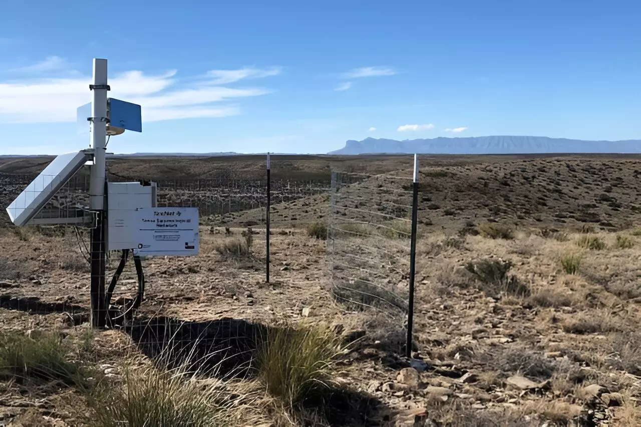
Utilizing data collected by TexNet, a statewide seismic monitoring network, the researchers were able to piece together previously unmapped parts of the Midland Basin fault system. Through passive seismic analysis, they identified a rift structure in the deep basement rock and a network of smaller faults surrounding it. This analysis allowed them to pinpoint 15 distinct earthquake-producing zones within the fault system, providing insight into potential future seismic activity.
By combining data on earthquake frequency and magnitude from all the identified zones, the researchers were able to determine the future seismic potential of the Midland Basin. Despite the increased seismicity since 2018, there is still uncertainty regarding the timing, frequency, and magnitude of future earthquakes. However, recent seismic activity suggests that zones 6-8, northwest of the cities of Big Spring and Stanton, are more prone to earthquakes as stress propagates through the fault system.
The Midland Basin is a significant hub for oil and gas extraction in Texas, with wastewater injection from these operations contributing to induced seismicity. Understanding the state of stress on the fault system is crucial in mitigating this seismic activity. Data from TexNet is providing valuable insights to researchers, helping them identify regions where earthquakes are more likely to occur. This knowledge can assist operators in adjusting wastewater injection operations to minimize stress and maintain the productivity of the basin.
The shifting seismic activity in the Midland Basin highlights the importance of continued monitoring and research in earthquake-prone regions. By analyzing earthquake data and mapping fault systems, researchers can better understand the potential risks and implications for nearby communities. With the utilization of advanced techniques and data analysis, scientists can work towards mitigating induced seismicity and enhancing the safety and sustainability of areas affected by seismic activity.


Leave a Reply