Greenland, a massive island located in the Arctic, is experiencing significant ice melt due to rising global temperatures. This ice melt has serious implications for sea levels and climate change. Researchers at the Technical University of Denmark (DTU) have developed a new method to track ice melt in Greenland on a daily basis, providing valuable insights into the process.
When the ice sheet in Greenland melts, the bedrock beneath it shifts slightly. This shift is caused by the decrease in pressure from the melting ice, resulting in the land rising. This elevation change can be measured and used to determine the rate and amount of ice melt occurring in Greenland.
The new method developed by researchers at DTU allows for the daily tracking of ice melt in Greenland for the first time. This is a significant advancement as previous methods only provided monthly or yearly estimates of ice loss. With this new method, researchers can monitor sudden changes in ice mass loss that often occur during the summer months.
Implications of Ice Melt
Greenland is losing approximately 5 cubic kilometers of ice per week, based on data from the last two decades. This rate of ice loss is equivalent to draining Denmark’s largest lake, Arresø, 40 times a week. The new GPS-based method provides valuable insights into the processes behind ice melting and can help entities like the UN Intergovernmental Panel on Climate Change (IPCC) better estimate future ice sheet melting and its contribution to rising global sea levels.
Apart from monitoring ice melt, the new method can also be used for practical purposes. For example, it can help in warning residents in Greenland about potential risks of flooded rivers. In 2012, a bridge collapsed at Kangerlussuaq due to extreme melting. With the new GPS-based method, researchers can better monitor and potentially warn if similar events are imminent.
Measurement Process
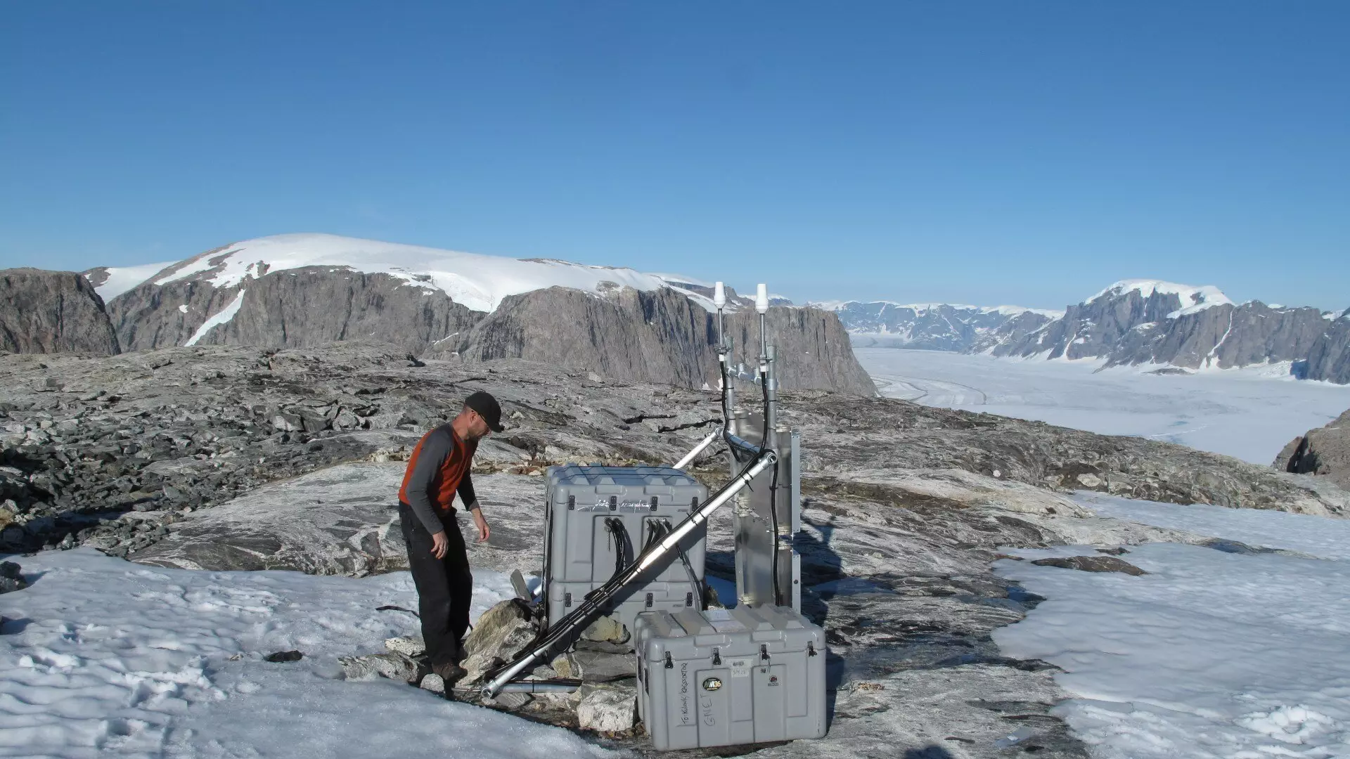
The measurements are conducted using the Danish state’s GNET, which consists of 61 GNSS stations located around Greenland. GNSS technology, which includes systems like the American GPS and the European Galileo, can detect movements in the bedrock with sub-millimeter precision over time. This data is crucial for accurately monitoring climate change in Greenland and improving our understanding of the ice melt phenomenon.
Collaborative Efforts
The study and the development of the new method have been a collaborative effort between DTU Space and DTU Computing Center. The expertise and computing power of the center have been instrumental in handling large amounts of GPS data and running simulations for the project. This collaboration has paved the way for advancements in monitoring ice melt in Greenland and understanding its implications for the environment.
The new GPS-based method developed by researchers at DTU represents a significant breakthrough in tracking ice melt in Greenland. This method allows for daily monitoring of ice mass loss and provides valuable insights into the processes driving the melting of the ice sheet. With this advancement, researchers and policymakers can better understand and address the challenges posed by climate change and rising sea levels.


Leave a Reply